


High Solutions represents a qualitative leap in the world of engineering surveying, in line with the Kingdom’s ambitious Vision 2030!
These devices rely on advanced technologies such as mobile mapping systems, 3D laser scanning, LiDAR, and ground-penetrating radar to provide:

3X Faster than Traditional Systems
Complete tasks in less time with higher accuracy.

2X Higher Measurement Accuracy
Compared to previous-generation devices.

90% Fewer Field Errors
Thanks to real-time analysis.

100% Digital Integration
With design and project management systems.
High Solution gives you maximum technical control over every data point on your site, to reduce risks and save on operating costs.
High Solution's Latest Solution
From the Leading Major Brands


Discover the Latest Generation of Smarter Surveying Solutions
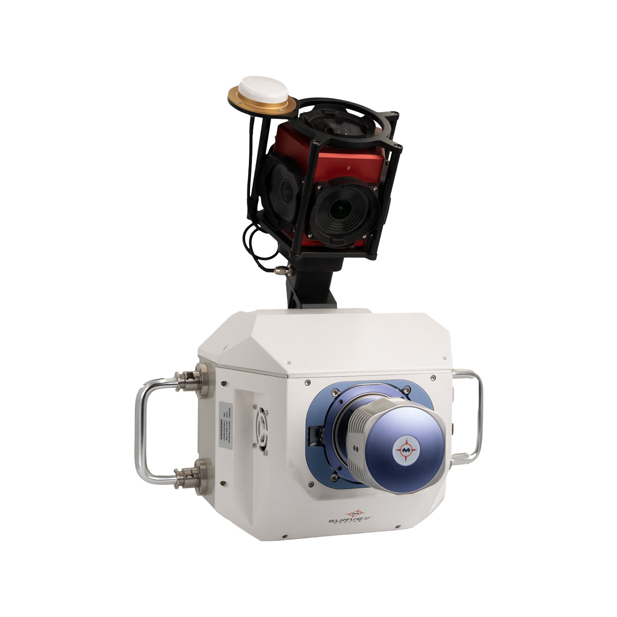
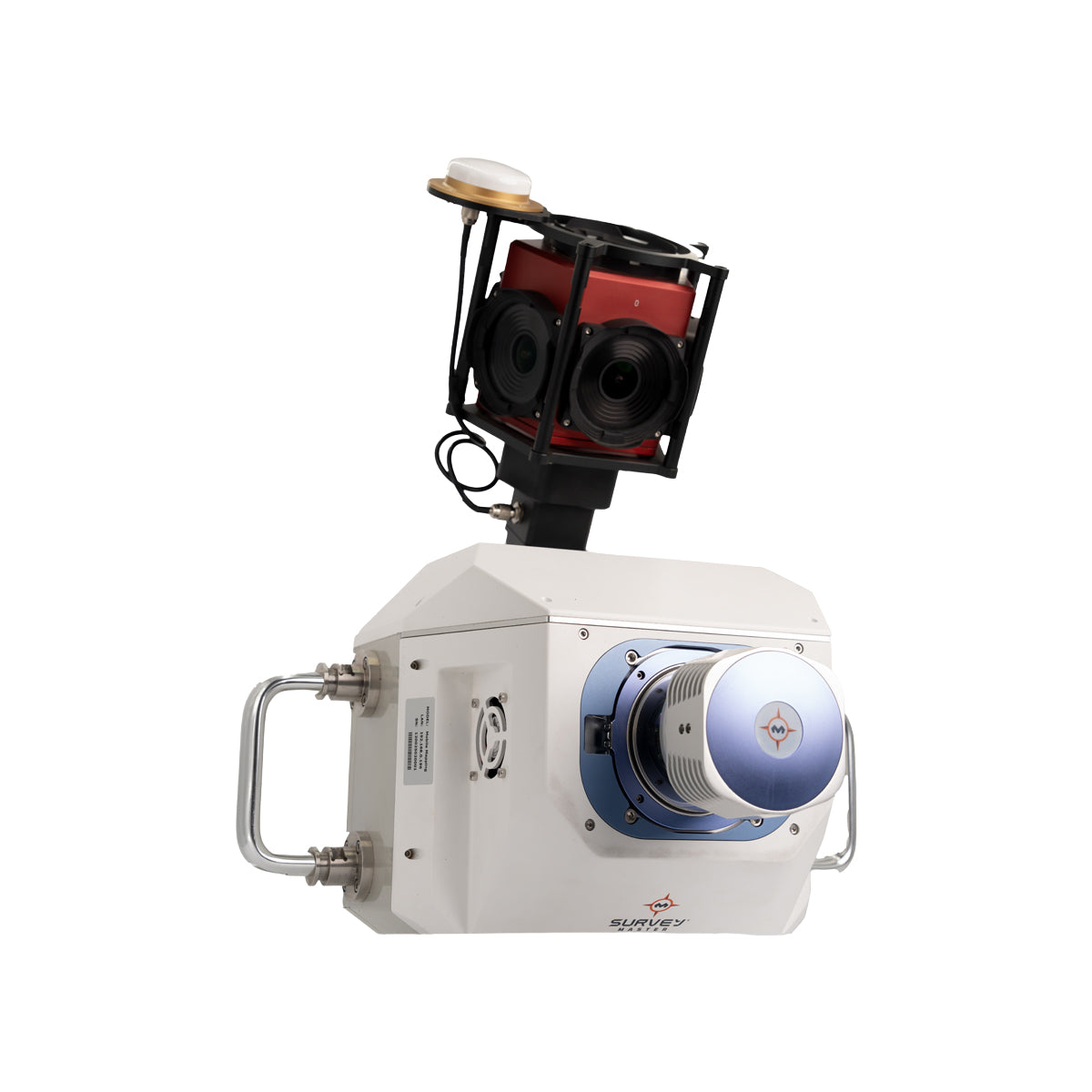
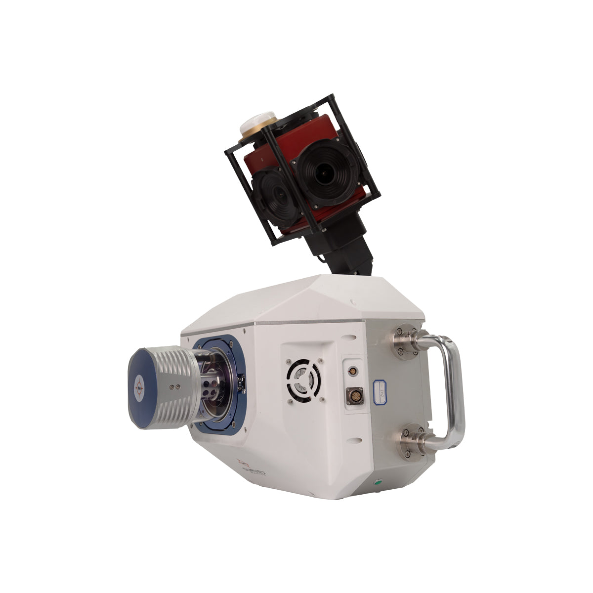
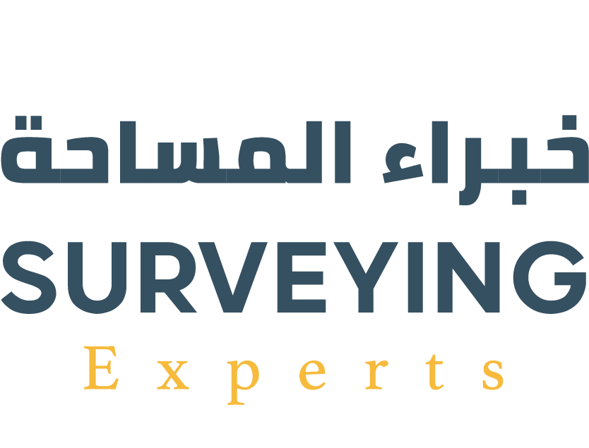
Eagle Eye 01 Vehicle-Mounted Mobile Scanning System
The Eagle Eye 01 from Survey Master is a mobile panoramic scanning and imaging system designed for digital scanning and 3D visual documentation directly from vehicles. It features an advanced lidar system with a scanning rate of up to 2 million points per second and a range of up to 1550 meters.
It features a built-in multi-lens panoramic camera capable of capturing 360° images with true 30-megapixel quality, enabling the production of realistic models based on the images, and their easy integration with LiDAR or GNSS data.
The device is developed for surveying and designing highways, engineering inspection of infrastructure, asset management, and documenting archaeological sites with rich color accuracy and full visual coverage.

Technical Details

2,000,000 points/second

Up to 1550 meters

360°

With 30 megapixel resolution

GNSS+INS system


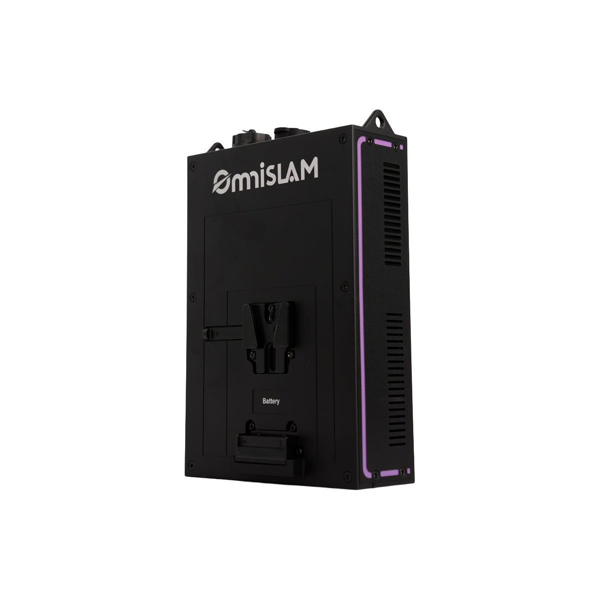

R8+ Mobile Scanner
The R8+ device from OmniSLAM™ is a portable 3D scanning system, offering multi-platform use whether handheld, backpacked, or vehicle-mounted.
The R8+ is based on a 32-channel LiDAR laser module, providing a wide scanning range of up to 120 meters. It has a processing capacity of up to 640,000 dots/second, with a dot density of 250,000 dots/m², and a relative accuracy of up to ±1 mm in dynamic mode.
The device is equipped with two 360° panoramic cameras and advanced built-in technologies such as RTK-SLAM and LIO-PANO algorithms, and intelligent self-calibration during operation (SAOC), enabling it to provide a colorful point cloud and realistic 3D models ready for analysis or integration into BIM and GIS systems.

Technical Details
2 cm


640,000 points/second
Up to 120 meters

SONY CMOS 1“
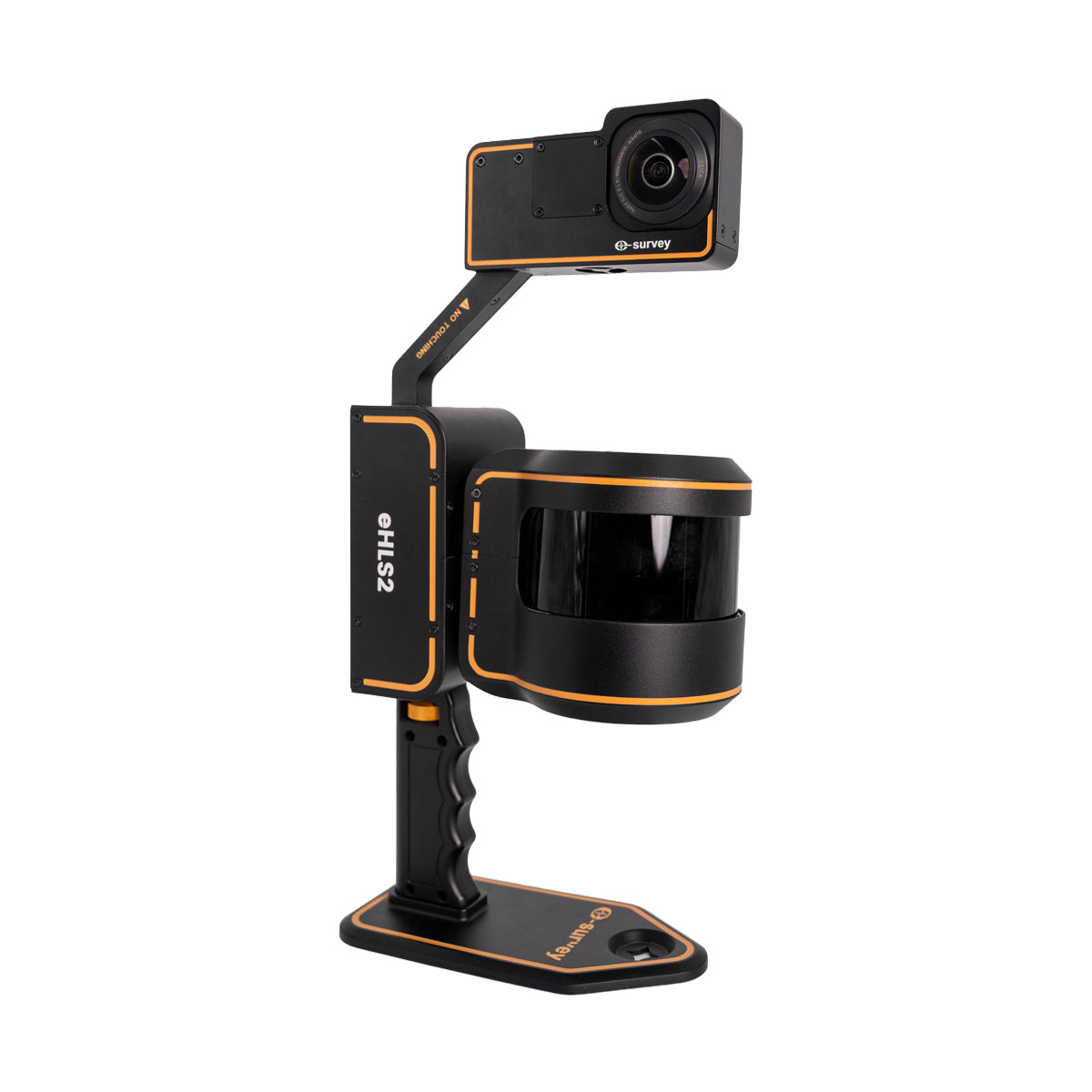
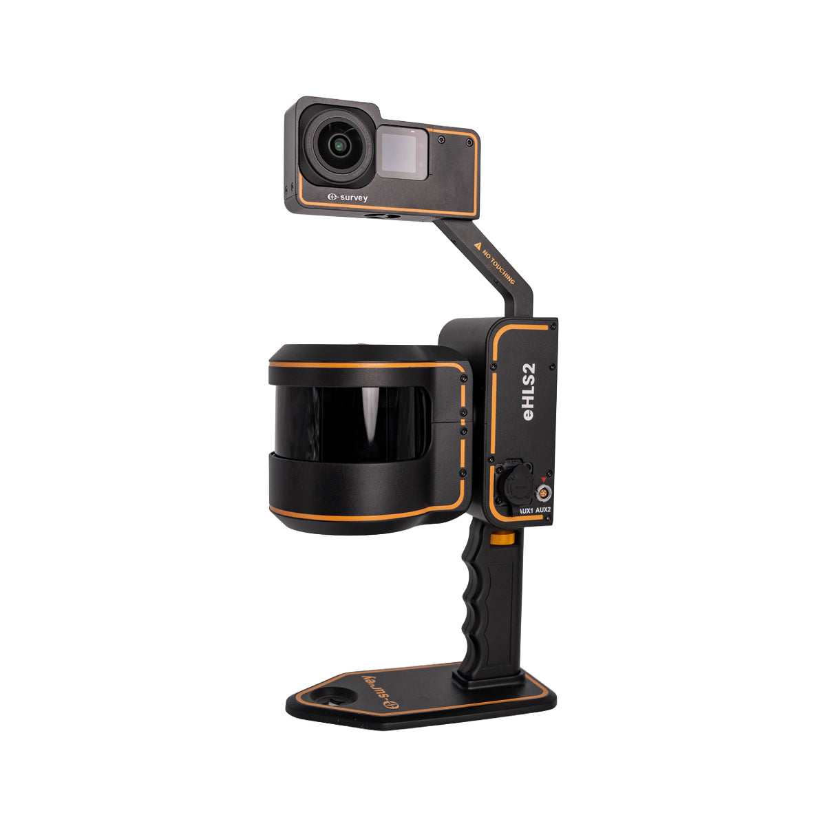
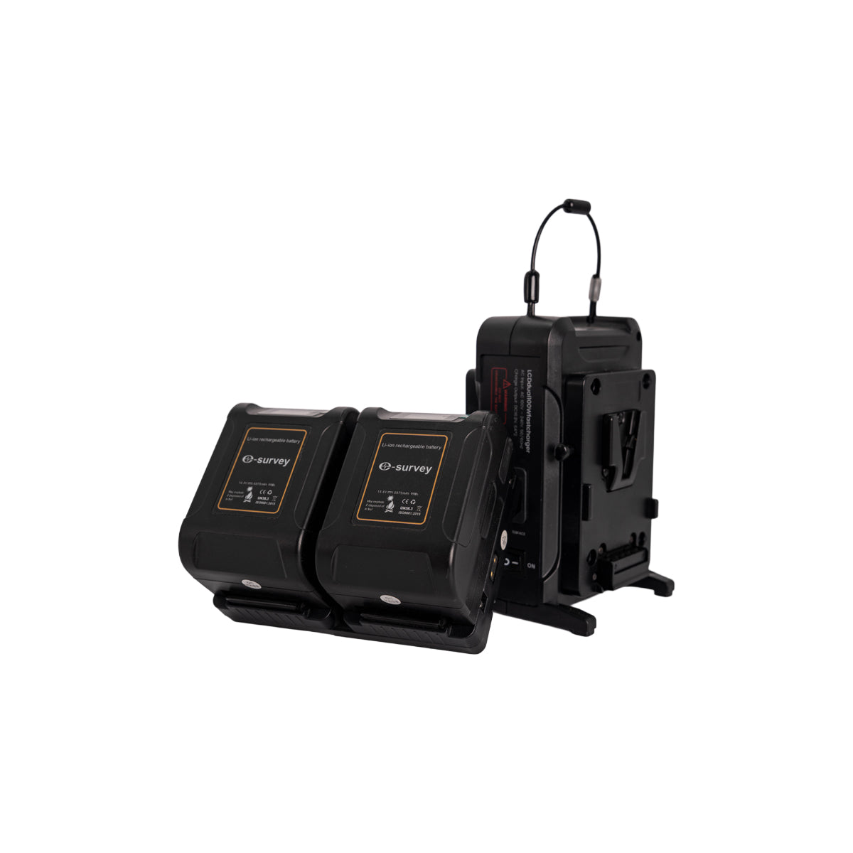
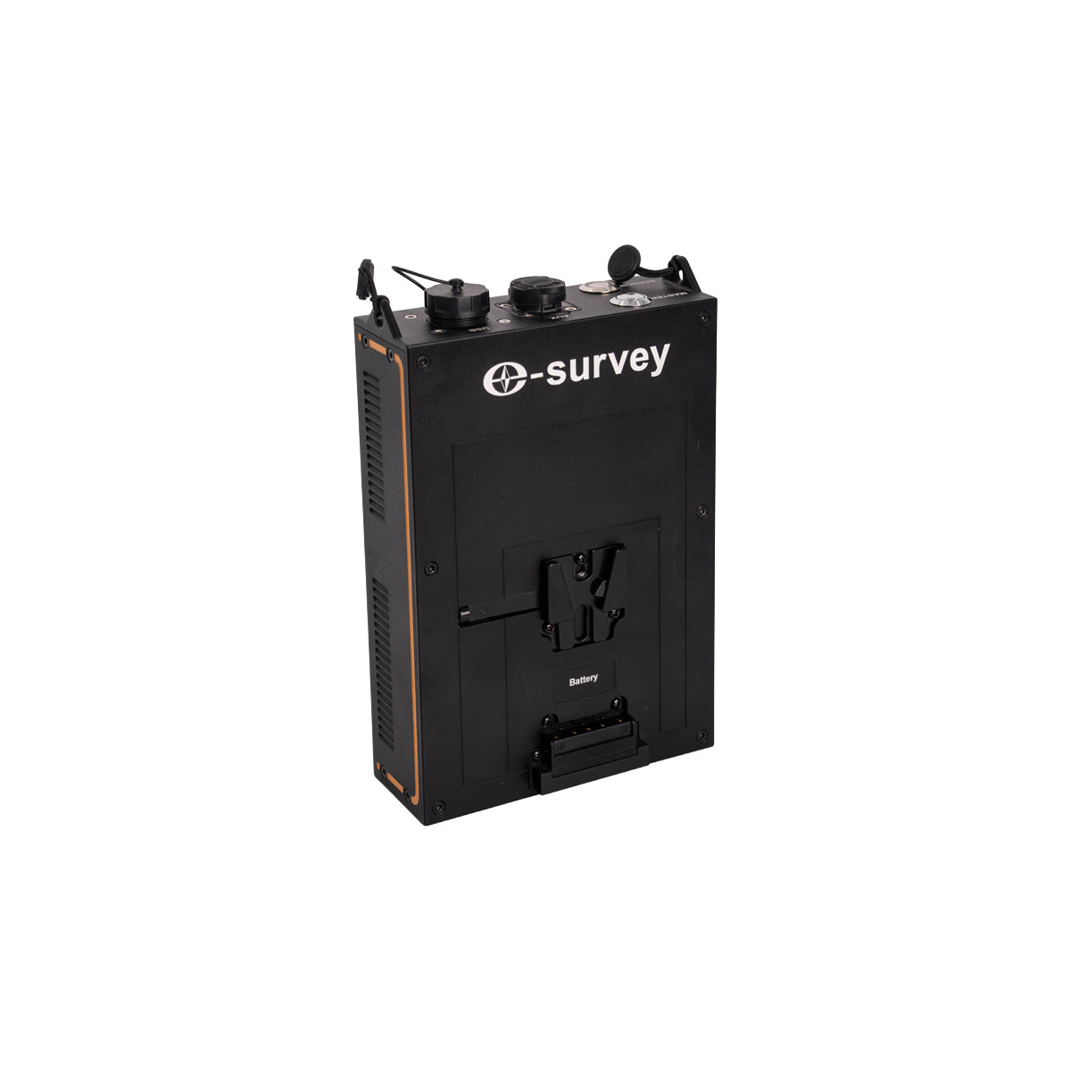
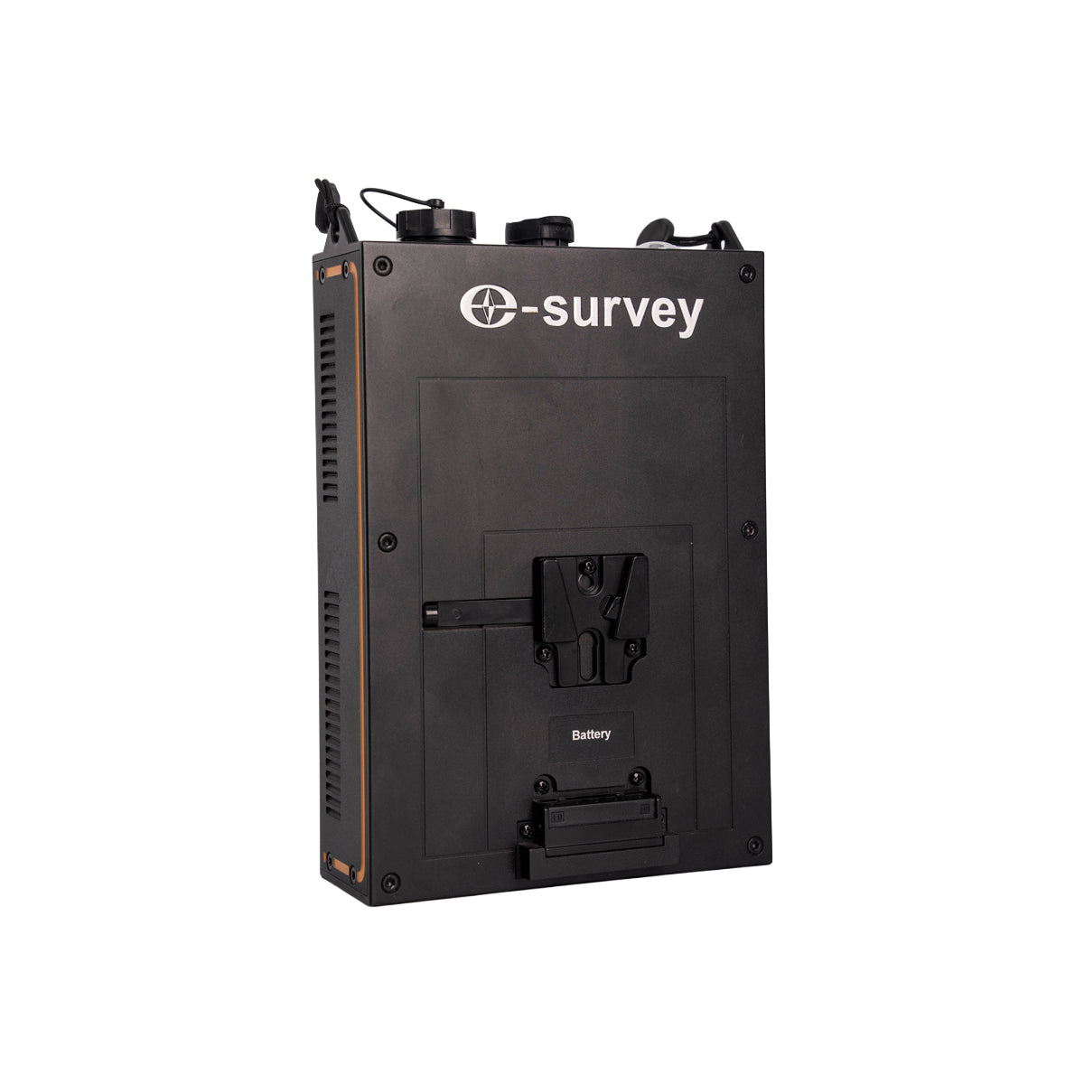
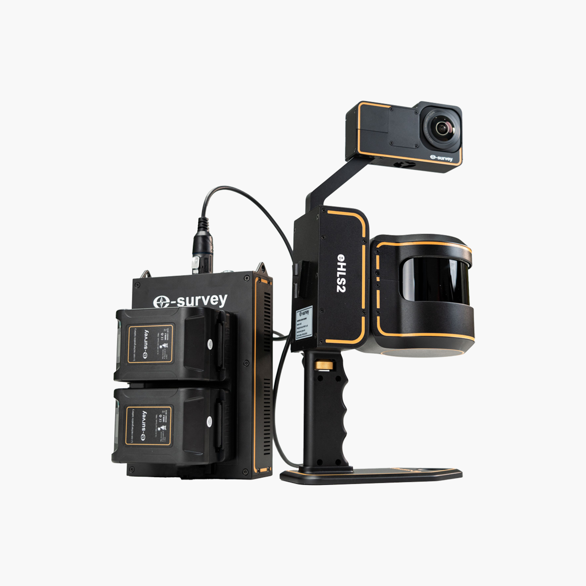
eHLS2 3D Scanner
Discover the next generation of 3D scanning with the eHLS2 from eSurvey — a handheld device that combines the power of laser scanning with precise positioning in one compact solution.

Technical Details

Instant positioning

Replaceable


6K colorscreen
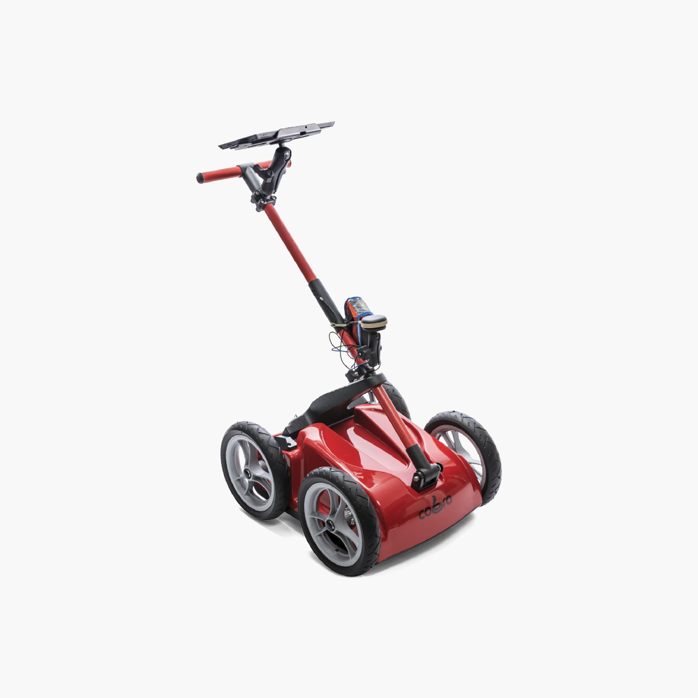
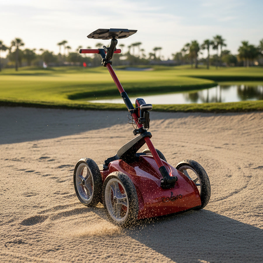
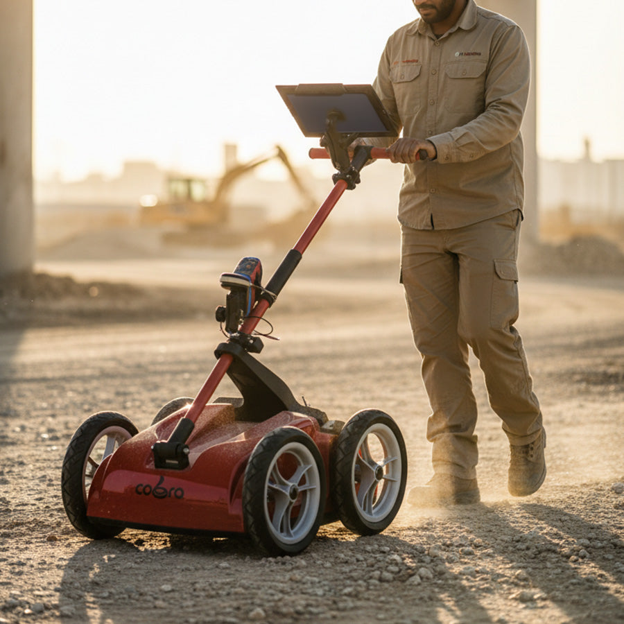
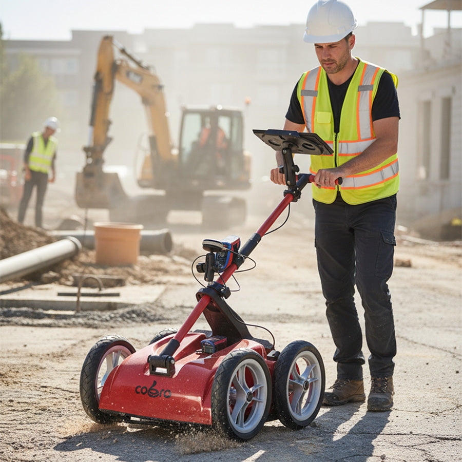
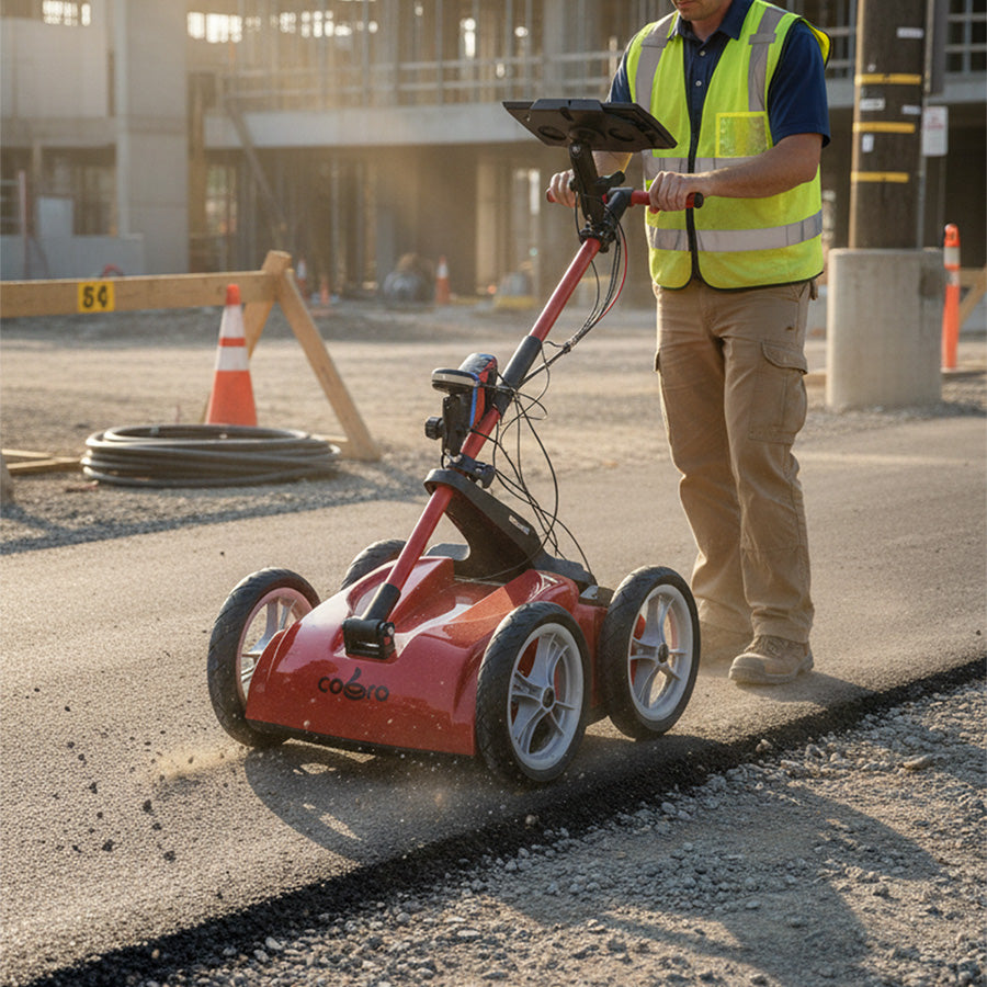
Cobra Wireless GPR Underground Scanner
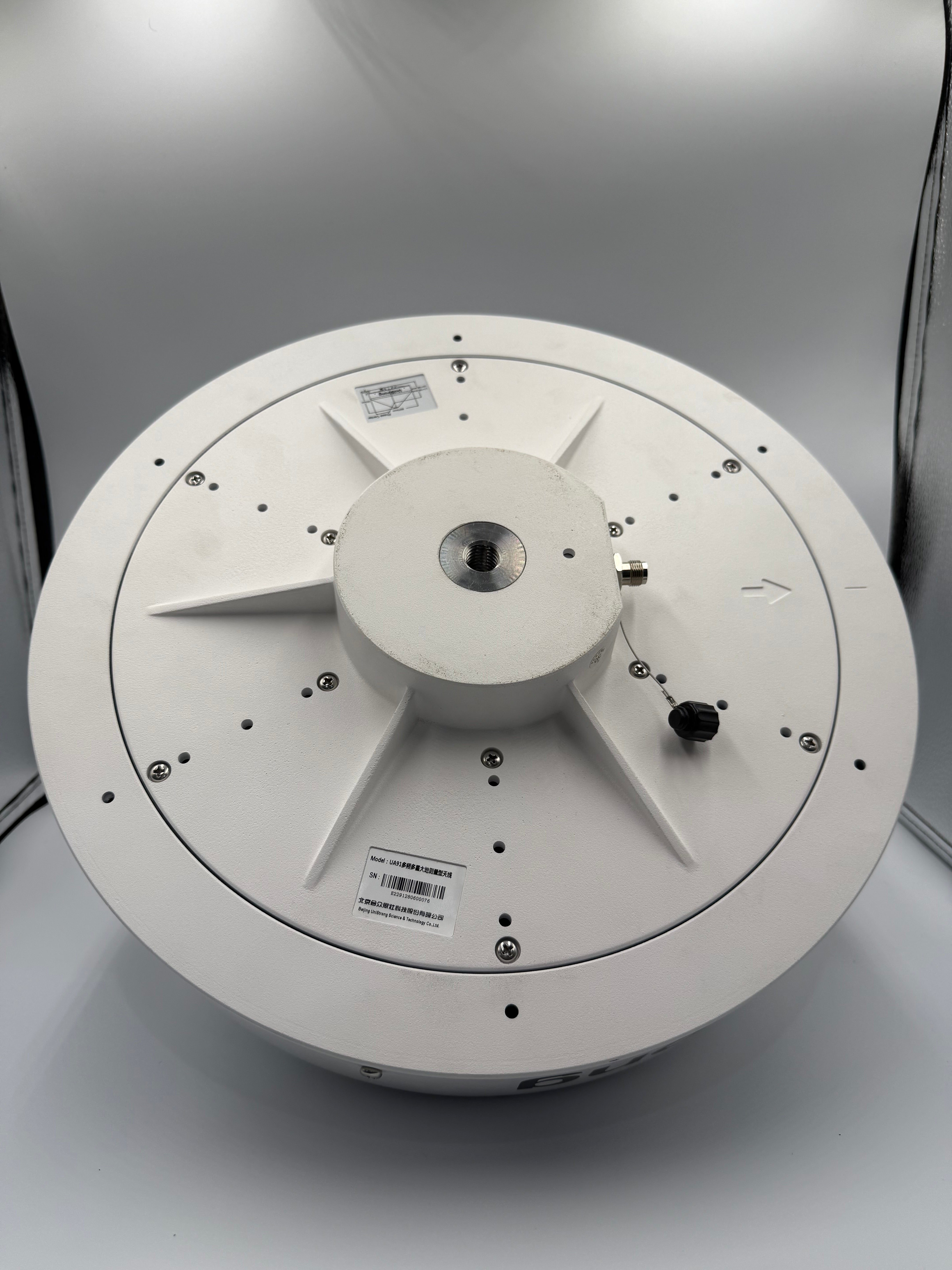
The Cobra Wireless device is a multi-frequency wireless ground-penetrating radar (GPR) system developed by the Swedish company Radarteam, specifically designed for subsurface scanning, utility detection, soil analysis, and archaeological and engineering studies.
The device is unique in that it has a multi-frequency CDB antenna, registered as an exclusive patent of the manufacturer, and enables simultaneous dual-frequency scanning of 400 and 800 MHz, for accurate detection of surface and deep layers without switching antennas.
The Cobra device features fully wireless installation and a lightweight design, making it ideal for field use without the need for complex or heavy equipment. It also integrates seamlessly with GNSS systems to combine location data with radar data.

Technical Details


Dual Polarization
2500 samples/second

200 و 400 و800 ميغا هيرتز
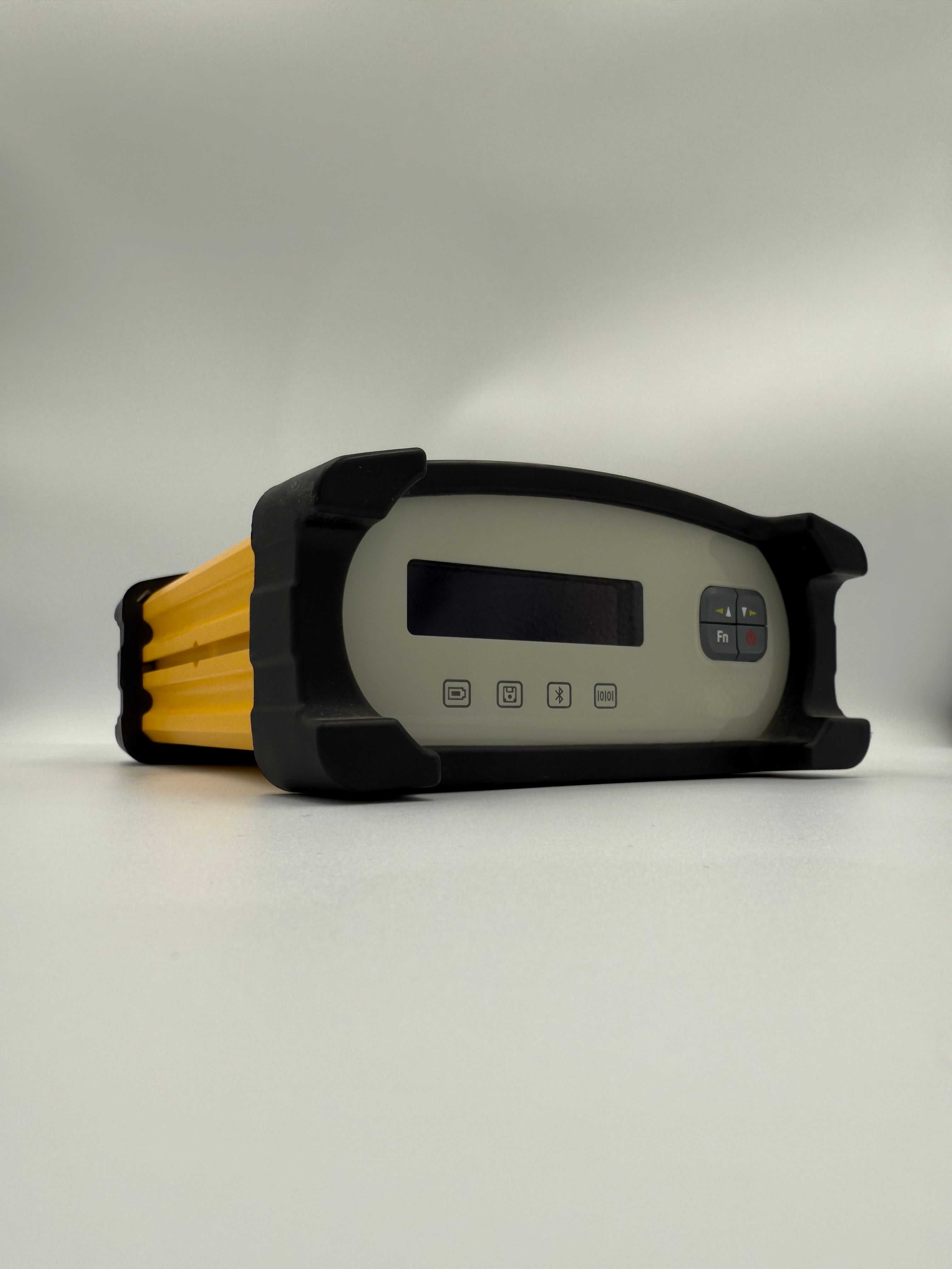
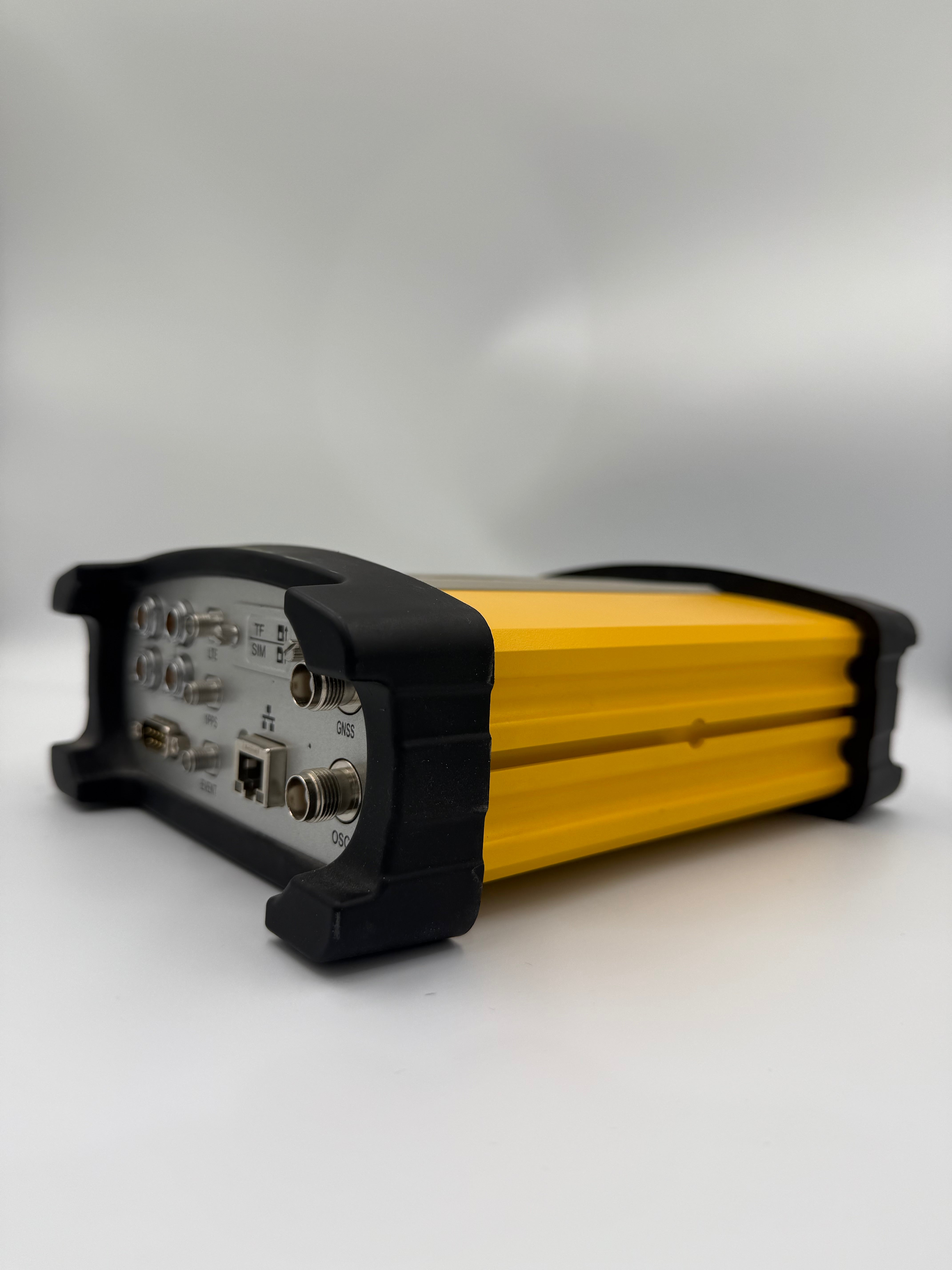
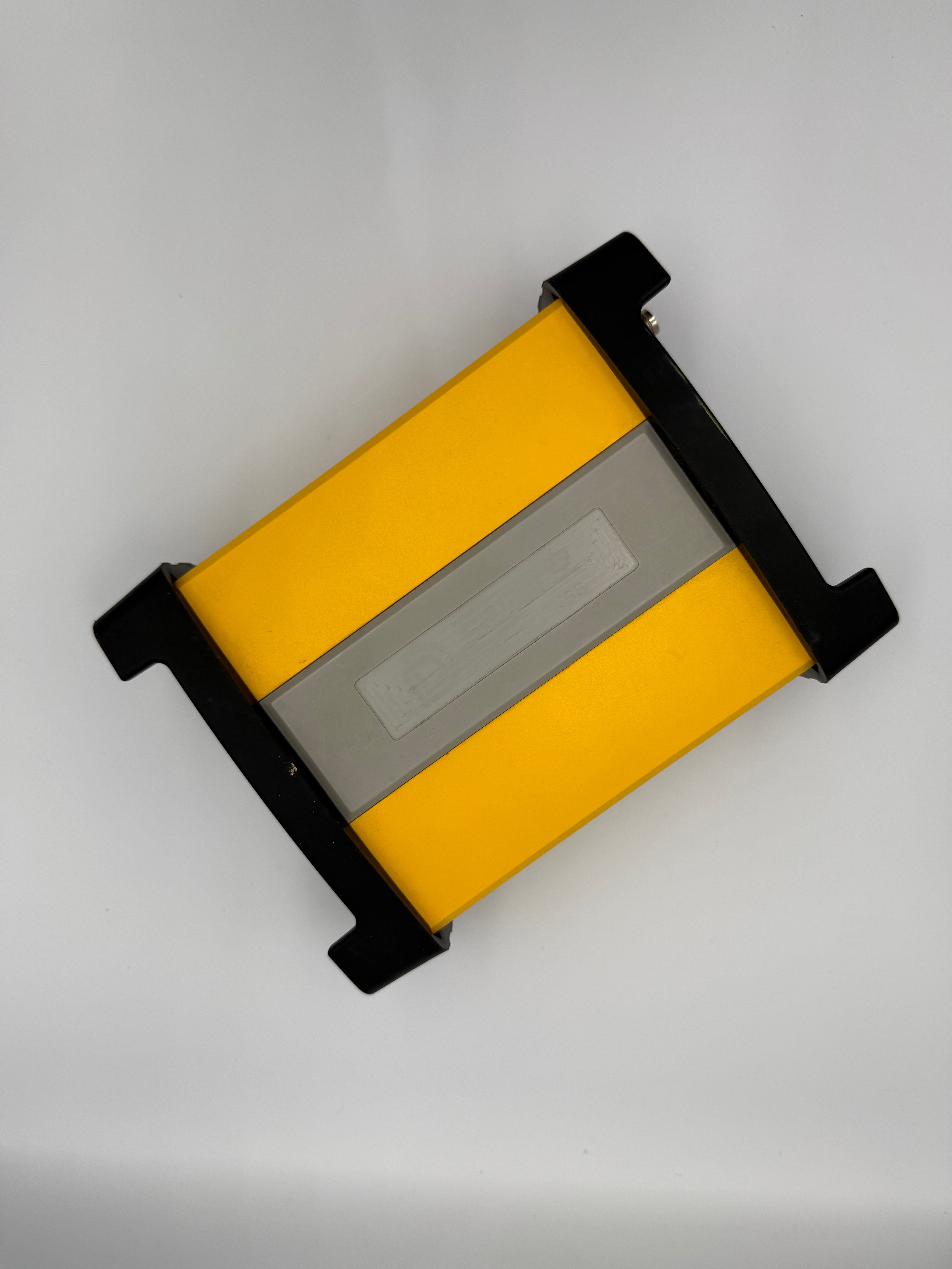
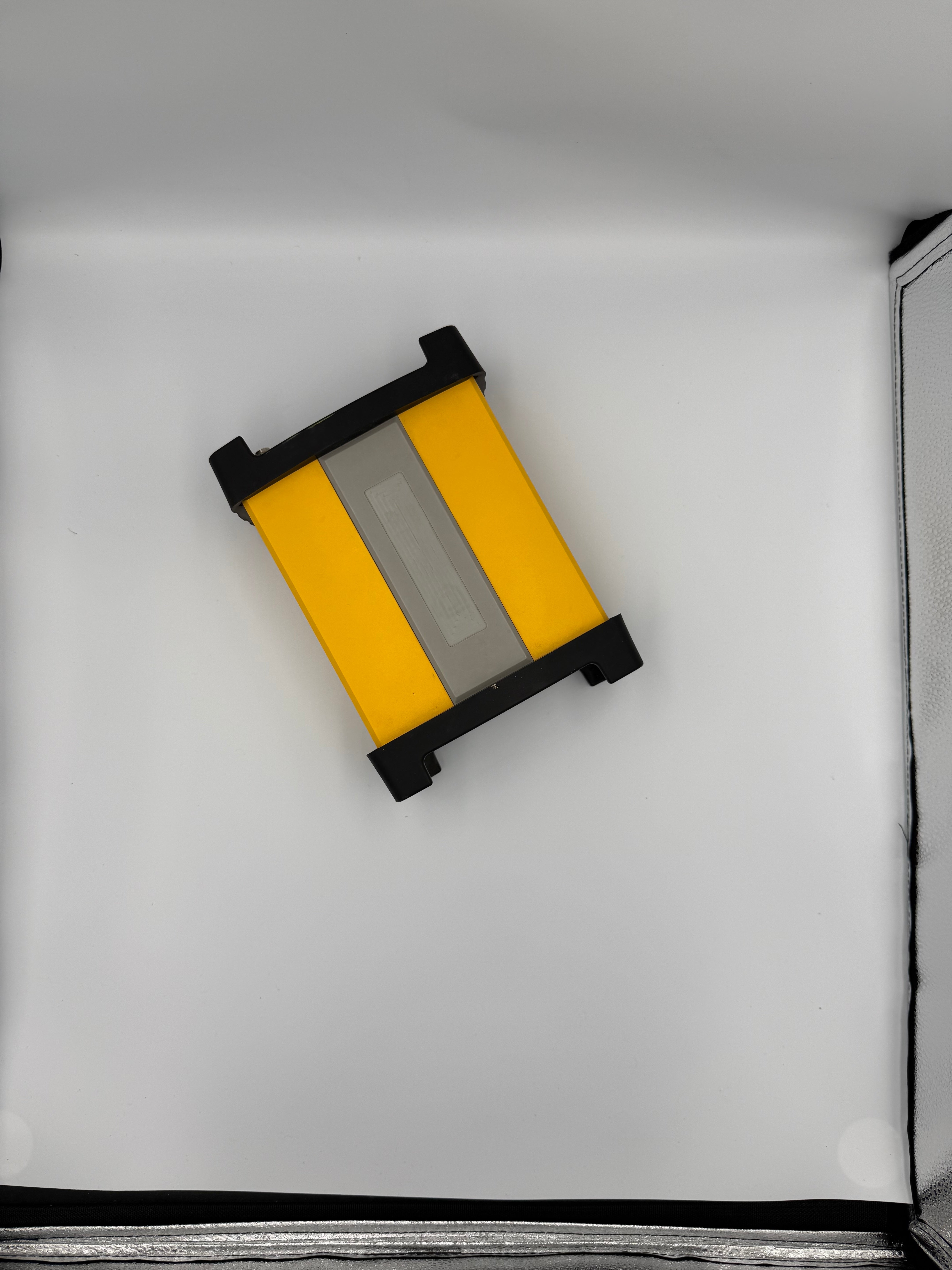
NET20 Plus CORS Station
جهاز NET20 PLUS من شركة e-Survey هو مستقبل المحطات المرجعية عالية الأداء، فيجمع بين الأداء والاعتمادية لتلبية متطلبات المشاريع الكبرى، ويقدّم حلاً ذكيًا ومستقرًا لمهام البنية التحتية، والمراقبة، والتحكم الآلي.
الجهاز مصمم لتوفير تصحيحات GNSS لحظية فائقة الدقة والموثوقية على مدار الساعة. ويتميز بتغطية فعالة حتى 35 كيلومتر، وبطارية داخلية قوية بسعة 13600mAh، وعشرات واجهات الاتصال مع الدعم الكامل لجميع أنظمة GNSS العالمية.
يدعم الجهاز التحديثات التلقائية عبر الإنترنت OTA، ويوفر تحكمًا عن بعد عبر واجهة ويب تدعم اللغة العربية، وخيارات تخزين مرنة تشمل ذاكرة داخلية 32GB، ودعم بطاقات TF، ورفع تلقائي للبيانات عبر FTP.
التفاصيل التقنية


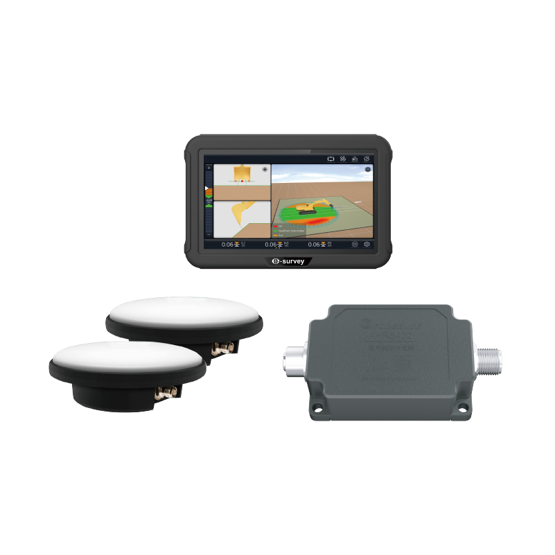
نظام eME30 ثلاثي الأبعاد لتوجيه الحفارات
جهاز eME30 من شركة e-Survey هو حل ذكي للتحكم في المعدات بدقة وكفاءة عالية، يُستخدم لتوجيه الحفارات وتقليل الوقت المستغرق في تنفيذ المهام في مشاريع البنية التحتية والإنشاءات الكبرى.
يعتمد الجهاز على تقنية RTK GNSS لتحديد موقع سن الدلو في الوقت الفعلي بدقة ثلاثية الأبعاد ±3 سم، بالاعتماد على بيانات مستشعرات الميل المثبّتة على ذراع الحفارة.
يتميز جهاز eME30 بنظام أمان ذكي يقلل أخطاء التشغيل؛ مثل ميزة منطقة الأمان الإلكترونية e-Fence لتقليل الحوادث والأضرار، والتنبيه التلقائي عند حدوث أي خلل بالمستشعر أو تشغيل غير صحيح.
الجهاز مزوّد ببرمجيات سهلة الاستخدام تعمل على نظام Android، ويدعم العديد من الملحقات مثل الدلو المائل والقواطع الهيدروليكية والاسطوانية دون الحاجة لإعادة المعايرة عند التغيير بينها.
التفاصيل التقنية


Practical Applications of High Solutions

Infrastructure and Civil Works Projects
Large projects such as roads, bridges and tunnels require high accuracy and speed of execution, which is what High Solution systems provide.
Technologies such as multi-frequency GPR and high-density LiDAR provide advanced capabilities for detecting underground facilities, analyzing structure, and modeling terrain without disrupting the site.
Government Projects and Digital Transformation
Government agencies rely on accurate data to inventory and manage assets, plan urban expansions, and implement smart cities.
High Solution systems provide high-resolution 3D scanning with direct compatibility with BIM and GIS systems, reducing processing time and improving the accuracy of urban planning and implementation.
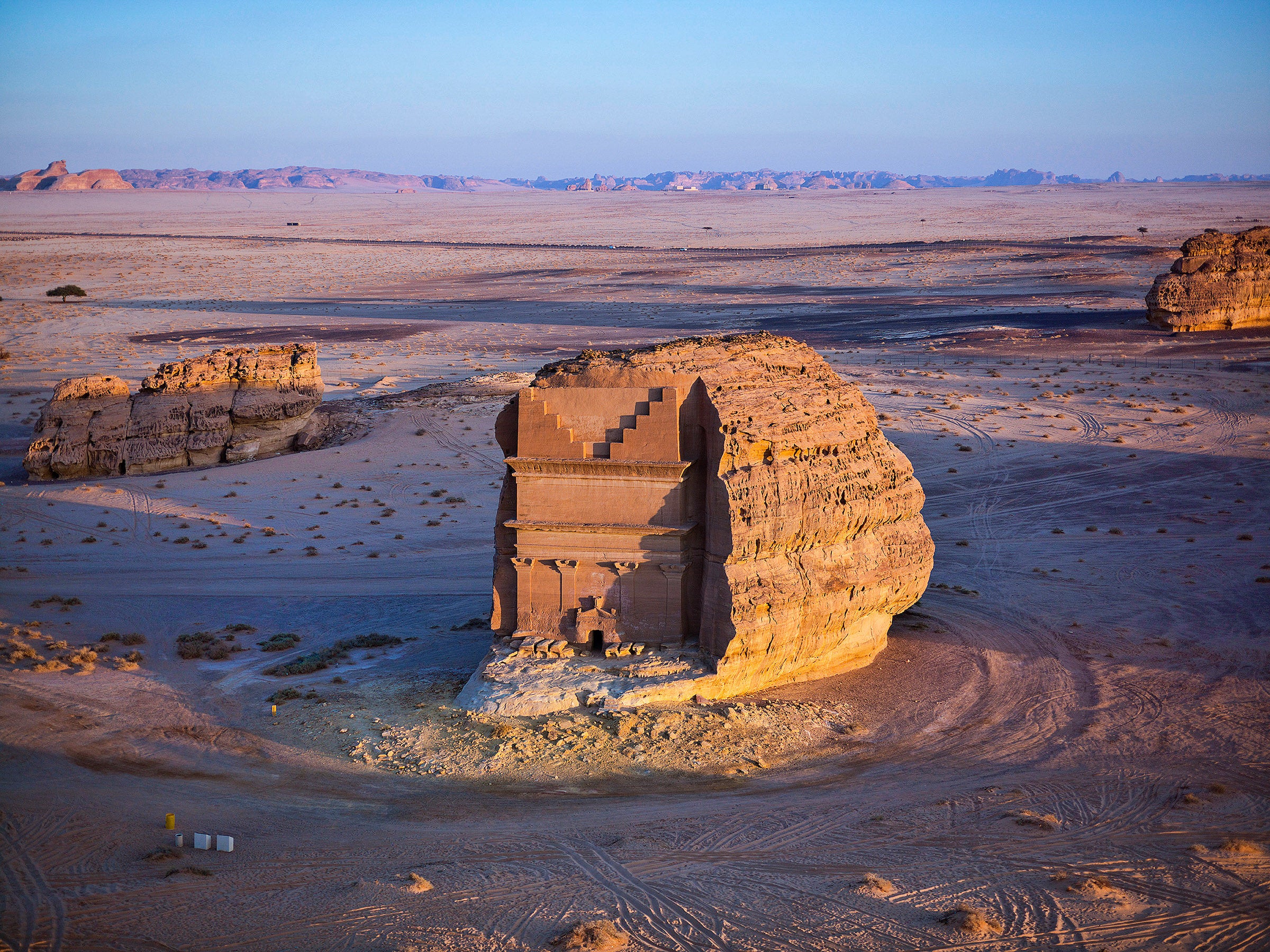
Archaeological and Environmental Projects
Sensitive sites need non-intrusive data collection tools such as High Solution systems.
These systems are used to document archaeological sites, detect artifacts, analyze terrain, and accurately map complex environmental sites without excavation.
It is also used in rescue and disaster operations to provide accurate and safe information quickly.
Trust Us
Thousands of Leading Saudi Companies are Involved in Mega-Projects.


